Category: Open Science

Raytraverse: a workflow for architectural spaces climate based daylight simulation
What is the project about? Raytraverse is a python library and command line tool that helps to mitigate the challenges of simulating and evaluating large amounts of rendered lightfield data. To quantify the daylight conditions in a building spans seven dimensions: three dimensional space, two dimensional viewing direction, time, and wavelength so every daylighting simulation (…)
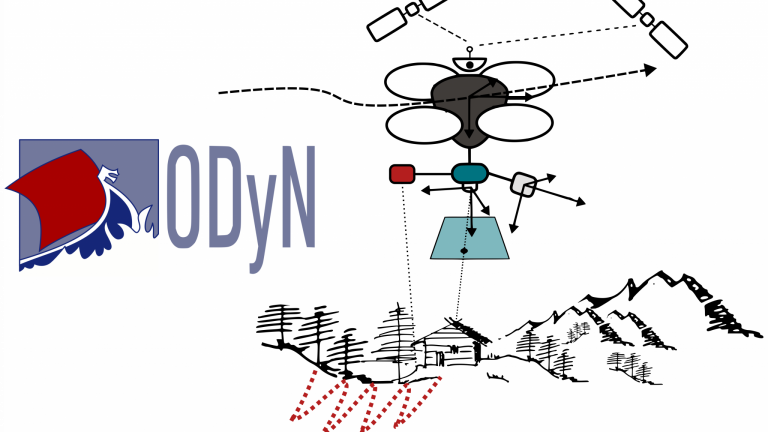
ODyN: a straightforward interface for trajectory estimation
What is the project about? In the fields of robotics and geodesy/mapping, a specific type of factor graph known as Dynamic Networks has emerged over the past decade, designed to estimate the trajectory of an agent (e.g., a robot, drone, airplane) by tightly integrating data from its on-board sensors. This is a crucial task for (…)
Smart Tools for Timber Drilling Assisted with Augmented Reality
New augmented reality platforms using robotic technologies can assist with wood fabrication tasks, which can be made openly accessible using simple sensors or displays with an augmented reality framework developed in Linux and C++.
Precipitation Open Data In The Southern OCEAN For ATLACE
What is the project about? The Antarctic Circumnavigation Expedition (ACE) was organised by the Swiss Polar Institute in the Southern Ocean during the austral summer of 2016 and 2017, with 22 different projects on board, ranging from chemistry to physics and biology. This was a special project as normally expeditions go repeatedly to one place (…)
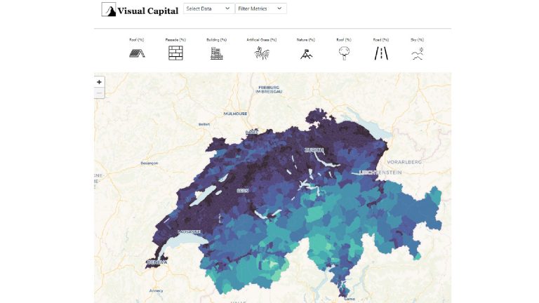
Democratising Views: Open Visual Capital Data
Opening data from digital twins on building views can open the door to other research like urban health, well-being or inequities across regions.
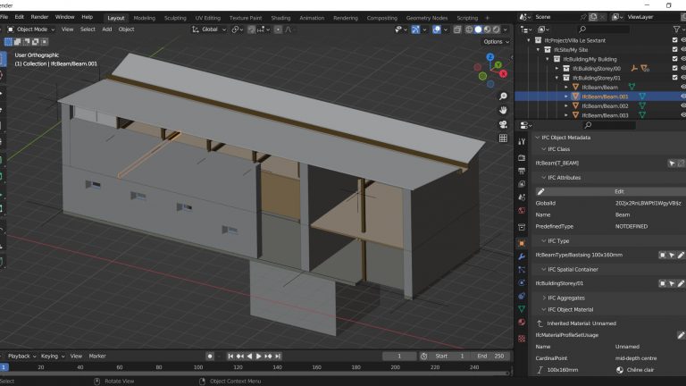
Bringing Open Source to Building Information Modeling (BIM)
BlenderBIM and the open standard IFC.js are revolutionizing Building Information Modeling (BIM) by offering open-source tools and establishing IFC as the native working format for architects and engineers.
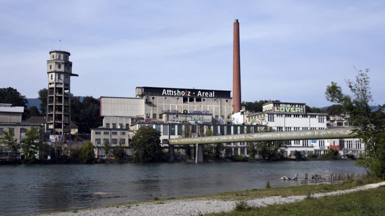
Publishing An Open Access Book: Neighbourhoods In Transition
Neighbourhoods in Transition is an open access book on urban brownfields and their regeneration, providing both a theoretical and practical approach to the topic.
Breaking Interoperability Barriers In Architecture, Engineering And Construction Software
The TopSolid-Speckle Connector is an Open Source plugin for the CAD-CAM software TopSolid that prevents proprietary enclosure of data and allows better collaborative workflows between different disciplines working on architectural projects.

Phoenix3D: Reducing Environmental Impact Of New Structures
Phoenix3D is aimed for architects and structural engineers who are designing structures that are made from reused elements, as this can significantly reduce their environmental impact.
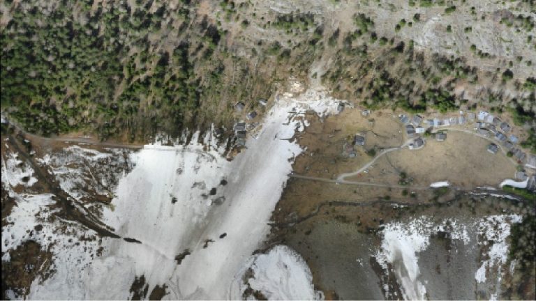
Modelling Snow Avalanches With AVAC 3.0
Avalanche-dynamics computational models are useful for predicting extreme avalanches and their threat to urbanized areas or civil-engineering structures like ski lifts, railway or reservoirs.