Research Topics
The lab excels in various research competencies, exercised in numerous past and ongoing projects in two general research directions.

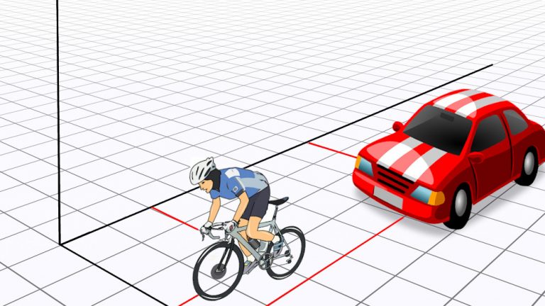
Position and attitude determination of moving platforms or subjects is the main-stream of the lab research activity. The laboratory expertise in algorithm development for real-time or post-mission positioning have been applied to vehicle and pedestrian navigation and trajectography. We make use of satellite based (GPS, Glonass) positioning, inertial sensors, magnetic sensors, imagery and lately the networked based positioning via Ultra-wide band or 802.x technology.

Sensor integration and close-range remote sensing competences served in development of task specific or general mobile mapping systems. Geodesy, surveying and cartography are the traditional proficiencies present in the laboratory. High precision surveying by satellite or terrestrial observations as well as network design and adjustment remains the valuable expertise that is regularly made available for consultation or research-mandates.
Projects
Current Projects
The objective of the GAMMS H2020 project is to develop autonomous mapping systems capable of producing high-definition maps. A major challenge in urban mapping scenarios is the estimation of the position of the vehicle during conditions when GNSS signals are not available. The role of EPFL in this project is to tackle this challenge by bringing in an innovative method that mathematically constrains the estimation of vehicle motion. These constraints are encapsulated using a synthetic sensor based on the Vehicle Dynamic Model (VDM).
Past Projects

We combine modern aircraft-based sensors with deep-learning data analysis and in-situ observations to generate spatially explicit inventories of species in the treeline ecotone within one Alpine valley. When validated, the approach is intended to be extended over broad regions where in-situ measurements are not feasible and satellite imagery does not provide a sufficient level of detail. This information should enhance the forecasting capacity of species distribution models designed to predict the evolution of vegetation as a result of climate warming.
We present our methodology to achieve this goal after the envisaged approach had to be redesigned during the project, as the data collected by the world’s finest imaging spectrometer for the study did not meet the localization accuracy required. This highlights the importance of having the ability to implement and control all stages of the processing chain in-house and to present data openly in their raw form.
Presentation
This project enables precise mapping of elongated structures in inaccessible natural environment with small drones. Its implementation represents considerable savings for monitoring and management of man-made infrastructure and its protection in complex surroundings. The progress is possible through combination of state-of-the-art flying platform with advanced planning, on-line quality control of aerial vehicle position and accuracy prediction of 3D reconstruction
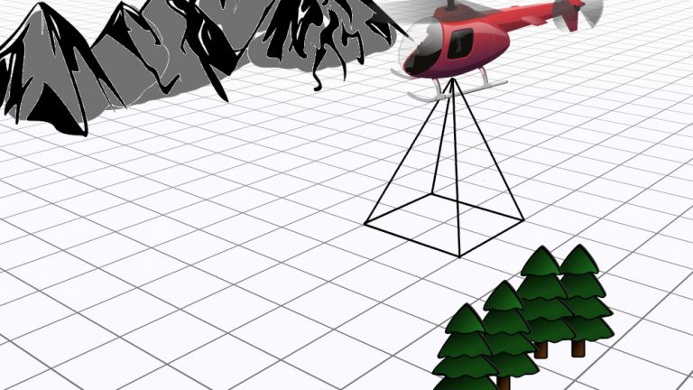
The objective of this project is to put into production a small, flexible and accurate airborne mapping system that integrates laser scanner, digital imagery and navigation sensors. Unique in its size and precision it can be embarked onto a helicopter within few minutes and can provide autonomous surface mapping of an area of interest with a high precision (0.2m) and resolution (<1m²), shortly after the flying mission. Its application span from natural hazards to corridors mapping.