Floods are one of the most common natural disasters globally, mainly caused by atmospheric conditions that lead to heavy rainfall, rapid snowmelt, or storm surge. When the surface runoff exceeds the capacity of the drainage network and surface water cannot enter the sewerage system, the drainage network overflows, resulting in overland flow, which marks the start of flooding. In general, floods can develop over hours to days. The group at highest risk of flooding comprises those who live in flood-prone areas, in non-resilient buildings, lack of access to warning systems and awareness of the potential hazards of flooding. Over time, floods have become more frequent and severe, primarily caused by the increase in the occurrence and intensity of extreme rainfall events attributed to climate change.
In Malaysia, floods are the most prevalent form of disaster. This is mainly contributed by the rapid economic development where structural development and environmental deterioration are uncontrolled. Besides, Malaysia experiences substantial rainfall throughout the year, particularly during the monsoon season, with annual rainfall ranging from 2500-3000mm per year. In conjunction with extreme rainfall events, this has led to a rise in flash floods.
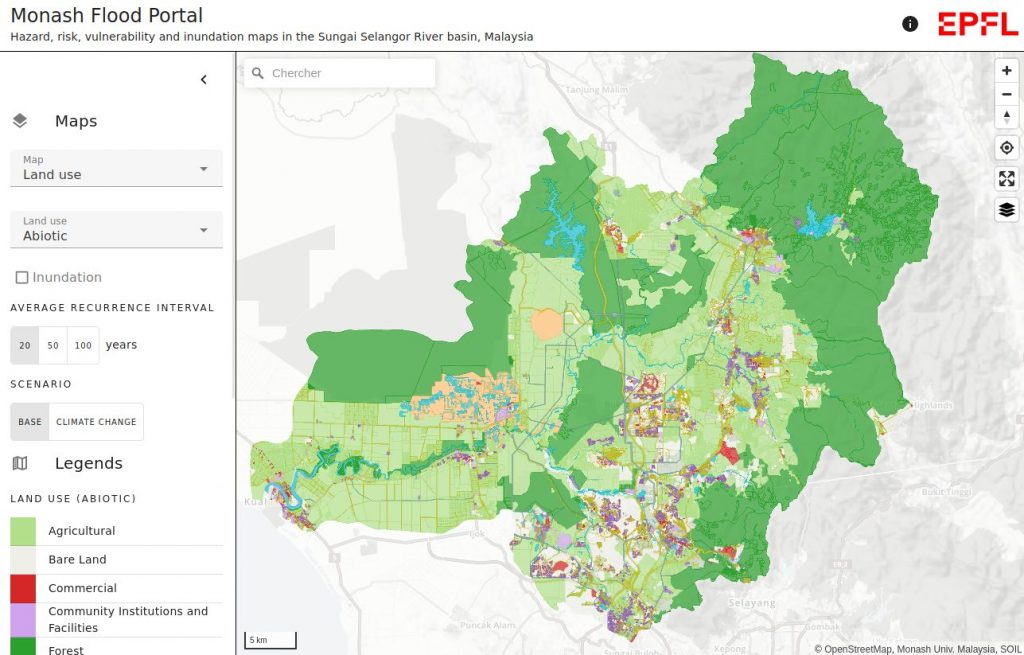
The Monash web portal is a collaboration between the Monash University, Malaysia, the SOIL lab and ENAC-IT4R. It is a first step toward the development of a flood warning system, that can assist Malaysian decision makers with flood disaster mitigation and prevention. The ENAC-IT4R contributions are:
- Geo data web viewer technologies review
- Geo data management and storage
- Web portal user interface design
- Geo data interactive web visualization development and deployment