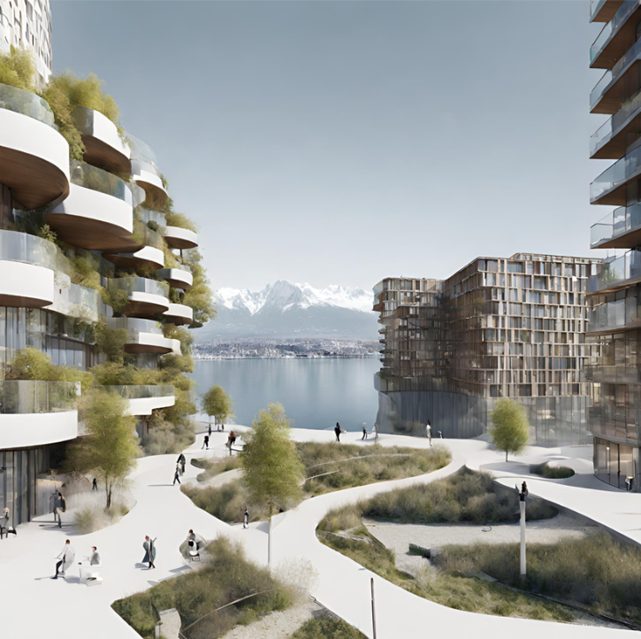
In the context of real estate development, this project aims to build design automation tools tailored for site-selection and feasibility assessments. While computational design has revolutionized how buildings are conceptualized and assessed, the opportunity to integrate financial market data to understand the costs imposed by new developments on local communities remains unexplored. Potential costs include location-based risks, notably the potential devaluation triggered by new developments that impact the visual quality of neighboring structures; often leading to community resistance and project delays. The resulting risk of escalating costs emphasizes the need to consider the social acceptance of planned, new developments.
The lack of accessible tools to evaluate the external effects of proposed designs poses risks for developers and communities alike. Hence, the proposed project aims to create an integrated impact assessment tool, which can be incorporated within existing early-stage architectural design optimization platforms. Currently, the tool utilizes advanced statistical models and expansive 3D geospatial data to quantify the visual impact of new designs by weighing the costs imposed on nearby buildings against the gains of the proposed building concept itself. The vision for this project is to expand the tool by including additional micro-climate assessments and simulations for enhanced building performance evaluations, which ultimately helps developers to maximize profits by simultaneously optimizing for local amenities, as well as resilience to community opposition and to changes in micro-urban climate.
General information
- PI: Adam Swietek (LEURE/ IA)
- Start date: 01.12.2023
- Duration: 6 months