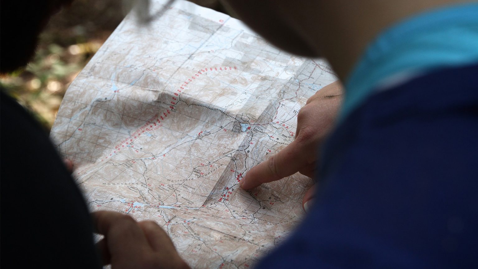
Maps and geodata
Distribution of geodata at EPFL
Geodata from different institutions are made available to the EPFL community.
Students are asked to address their questions regarding both the geodatasets and the GIS (Geographic Information Systems) software to handle them to their course assistants.
For an initial training on geodata and GIS, 2 references may be suggested at EPFL:
- ENAC offers an introductory course “Geographic Information System” in the form of MOOC (Massive Open Online Course) on the Courseware platform.
- For architecture students, the TUTO-cartographie page provides tips on how to use geodata in architecture and urban planning projects, including how to use it with QGIS software (in French only).
Coverage : Switzerland
- Content : Swisstopo data:
- Topographic Raster Maps : Swiss Raster Map (pixel) at different scales (1 : 25000 to 1 : 100000)
- Topographic Vector maps : swissALTI3D (altitude, slope, orientation and relief), MNT25
- Digital Elevation Models : VECTOR200, swissTLM3D.
- Airborne orthoimages : SWISSIMAGE (resolution from 25cm to 15m, different years since 1998), LANDSAT 25m
- Access : EPFL community (GASPAR credentials) : geovite.ethz.ch
- Features :
- online consultation
- geodata downloading (shapefile format for vector data and geotiff format for raster data): https://geovite.ethz.ch
- Support: https://geovite.ethz.ch/Support.html
- Coverage: Canton of Vaud
- Content: catalogue of geodata available in the Canton of Vaud, supplied by public and private suppliers (municipalities, cantons, network operators).
- Access: EPFL community : viageo.ch
- A personal account must be created using the EPFL e-mail address. The data can then be ordered with the discounts (or free of charge) for research and teaching. To do this, in step 2 of the order, tick “Order for a third party” and choose “EPFL” from the drop-down menu. Specify the name of the project and the person in charge (or the professor for student work).
Any order placed must be validated by the ENAC correspondent, who automatically receives a request for validation by email for each order. The invoice for the paid data is sent by the ENAC correspondent to the person who placed the order.
- Features: search, visualization and geodata order (various formats)
- Support: https://viageo/support
Geodata portals
Please find below the different geodata portals.
• map.geo.admin.ch: map viewer of geodata from the Swiss Confederation.
Click on “Change topic” to select the office (ARE, FSO, SwissTopo, …) or the topic (aviation, geology, …)
Access for EPFL members to MeteoSuisse, OFS and SwissTopo data, see above “Distribution of geodata at EPFL”.
• geo.admin.ch : list of public federal thematic portals.
• geocat.ch: catalogue of metadata for all the geodata of Switzerland
• maps of natural hazards in Switzerland
• cadastre.ch: portal for official cadastral surveying, for the PLR cadastre (Public-law Restrictions on landownership) and for the land registry. Information on issues relating to territorial development and transport development.
- Fribourg: Cartographic portal of the Canton of Fribourg ; Système d’information du territoire fribourgeois (SYSIF)
- Geneva: Land Information System of Geneva (SITG); online access to the best maps from Geneva public collections (GE200.ch)
- Jura: GeoPortal of the Jura
- Neuchâtel: Geoportal of the Land Information System of Neuchâtel (SITN)
- Valais: Geoportal of Valais ; eAtlas of Valais
- Vaud: Vaud geoportal (ASIT VD) ; list of Vaud cantonal and municipal cartographic portals
- Other cantonal geoportals
• European Commission: INSPIRE geoportal: provides the means to search for spatial data sets and spatial data services, and subject to access restrictions, to view spatial data sets from the EU Member States
• United Nations: Environmental Data Explorer – GRID (United Nations Programme for the Environment). The Environmental Data Explorer is the authoritative source for data sets used by UNEP and its partners in the Global Environment Outlook (GEO) report
• France: GéoportaiL (France): public web portal allowing access to search and viewing services of geographic data or geotagged French territory
• United States: Geospatial Platform (USA): the Geospatial Platform is a managed portfolio of common geospatial data, services, and applications contributed and administered by trusted sources and hosted on a shared infrastructure.
• United States: NGA Raster Roam: National Geospatial-Intelligence Agency (USA)
• Openstreetmap: collaborative project to create a free editable map of the world
• WikiMapia: open-content collaborative mapping project that aims to mark and describe all geographical objects, under Creative Commons License
Maps of Switzerland
Other printed maps are available in the EPFL Library and can be found via BEAST catalog.
- Inventaire_Cartes_Dufour_nom.pdf
- Inventaire_Cartes_Dufour_numero.pdf
- Inventaire_Cartes_Siegfried_nom.pdf
- Inventaire_Cartes_Siegfried_numero.pdf
All of the current topographical maps designed, edited and distributed by the Federal Office of Topography, Swisstopo
Scales: 1:1,000,000 ; 1:200,000 ; 1:100,000 ; 1:50,000 ; 1:25,000
Available online on the geoinformation platform of the Swiss Confederation: map.geo.admin.ch. Special access for EPFL community : geovite.ethz.ch (see above “Distribution of geodata at EPFL).
Printed version: no recent versions are available in the EPFL Library. Option of placing requests via BEAST catalog to borrow recent editions.
Official name: Topographic Atlas of Switzerland = Topographischer Atlas der Schweiz
Historical map: 1870-1949
Scale: 1:25,000 for the Central Plateau, the Jura Mountains and Southern Ticino and 1:50,000 for the Alps
Ellipsoid: Schmidt 1828
Projection: Equivalent conical projection
Starting point altitude: Benchmark Pierre du Niton 376.86 m above sea level = “old horizon”
Printed version: available in the EPFL Library to look up on-site. Make an appointment at [email protected].
Available online on the geoinformation platform of the Swiss Confederation: map.geo.admin.ch. Special access for EPFL community : geovite.ethz.ch (see above “Distribution of geodata at EPFL).
Items of interest
- Floods: a mapping application that allows viewing of the elevation of the water level at any point on the globe. http://www.floodmap.net/
- Travel in time with swisstopo: visualise the evolution of a landscape over time
- Cartography / Le Monde diplomatique
- Alplakes: monitoring and forecasting of lakes across the European alpine region