Coded in its mission statement, EPFL strives in serving the industry via collaboration, partnership and transfer of technology. The benefits of this interaction are mutual as they offer inimitable experiences to students while helping the industry to leap to new products or services.
Software available for industrial licensing (via TTO):
- In-flight sensor orientation, laser-point quality assessment (iqual)
- Direct determination of camera exterior-orientation with correction parameters (cameo)
- 3D laser-point cloud generation in real-time and postmission (lieo)
- Colorisation and visualisation and classification of laser point-cloud (pcviewer).
Software
IQUAL

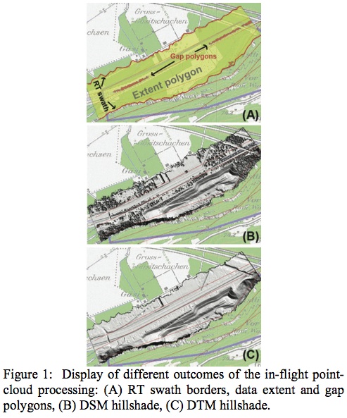
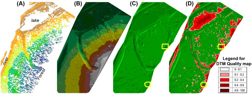
QUAL is a software package for real-time (RT) acquisition, processing and quality evaluation of data gathered by an airborne mapping system comprising GPS receiver, inertial measurement unit (IMU), airborne laser scanner (ALS) and optionally also a digital camera. It is based on a modular design that allows scalable distribution of tasks accros several computers. The individual software modules are schematically depicted with the system while the figures below shows an example of the quality and DSM/DTM determination outputed by lieo


CAMEO

CAMEO determines the parameters of camera Exterior Orientation (EO) (i.e. position and attitude) from given GPS/INS trajectory and calibration data. It is a general utility program supporting number of photogrammetric suites, e.g. BINGO, SocetSet, MatchAT, POSEO. It suites well the industrial data flow via batch-processing and applies correction terms for projections.
LIEO

LIEO sofware generates 3D point coordinates from laser scanner measurements, GPS/INS trajectory and calibration data. Number of datums and projections are availible as well as data parcing. The program is suited well for industrial data flow via batch-processing but comes also with GUI. An optional feature includes automated analysis of the laser point cloud quality and creation of DSM/DTM and DTM-quality maps, see also (iqual) .

PCViewer 1.0

Software for fast colorization, analysis and aisualization of ALS data
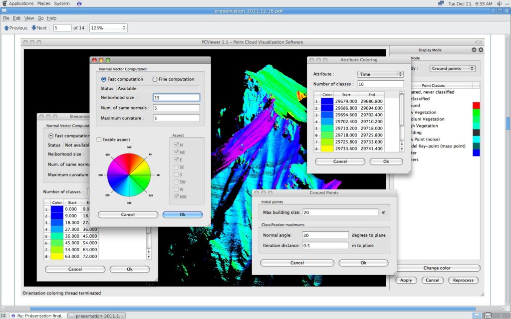
PCViewer 1.0 is an OpenG/C++ based highly efficient software which performs mapping tasks without any triangulation. This provides highly robust and efficient realistic modeling of topographic point clouds, even for complicated landscapes such as forests and cliffs.
The main features are :
- Realistic point cloud colorization using External and Internal orientation information for acquired images
- Slope aspect (slope orientation/steepness) computation and color coding using normal vectors derived from the point cloud
- Fast ground point detection algorithm
- I/O compatible with standard LAS formats

Examples of product/services availible from industrial partners benefiting from the technology transfer
 | Airborne mapping system |
IMU Data Interface/Logger |