The Paris Atlas of Landscapes:
Habitat Research Center – EPFL Directed by Paola Viganò, the Habitat Research Center at EPFL has been selected by the City of Paris and the French State to develop the first “Atlas of Landscapes of Paris,” as a research-action grouping questioning both the city of Paris’ resources and challenges in the context of the socio-ecological transition. How is it possible that there has never been an Atlas of the city of Paris? The City of Paris and the State of France (DRIAT) announced the launch of the first official Atlas of Paris for 2024. Identifying, characterizing, and qualifying Parisian landscapes – characterized by many changes and necessary adaptations – is the objective of this Atlas; it will allow everyone to appropriate the city of our time by providing new subjects for reflection on its evolutions and possible futures. Moreover, the Atlas shall be released during an exceptional year in Paris, as Paris becomes the center of world attention as it hosts the Olympic Games. Introducing the challenges for the City of Paris A diversity of questions were raised regarding the Landscape Atlas of the City of Paris and executed by the constitution of an interdisciplinary team built around the question of landscape representations, their recognition, and their stakes. The Habitat Research Center at EPFL leads the entire project and focuses on urbanization processes under an era of socio-ecological transition.
Habitat Research Center – EPFL
Directed by Paola Viganò, the Habitat Research Center at EPFL has been selected by the City of Paris and the French State to develop the first “Atlas of Landscapes of Paris,” as a research-action grouping questioning both the city of Paris’ resources and challenges in the context of the socio-ecological transition.
How is it possible that there has never been an Atlas of the city of Paris?
The City of Paris and the State of France (DRIAT) announced the launch of the first official Atlas of Paris for 2024. Identifying, characterizing, and qualifying Parisian landscapes – characterized by many changes and necessary adaptations – is the objective of this Atlas; it will allow everyone to appropriate the city of our time by providing new subjects for reflection on its evolutions and possible futures. Moreover, the Atlas shall be released during an exceptional year in Paris, as Paris becomes the center of world attention as it hosts the Olympic Games.
Introducing the challenges for the City of Paris
A diversity of questions were raised regarding the Landscape Atlas of the City of Paris and executed by the constitution of an interdisciplinary team built around the question of landscape representations, their recognition, and their stakes. The Habitat Research Center at EPFL leads the entire project and focuses on urbanization processes under an era of socio-ecological transition.
Understanding the socio-ecological transition in the city of Paris
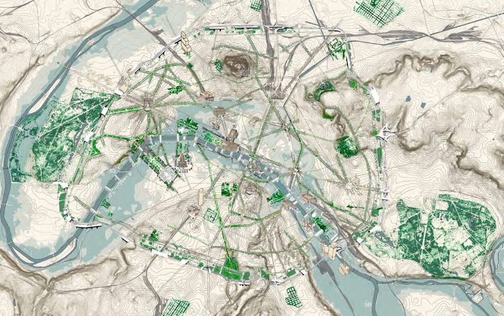
The Atlas under construction is based on the hypothesis that the ecological and social transition requires a change in the way we observe and practice in urban spaces. What will the city be like in the near future? How will we be living it? What do we expect from it? Water scarcity management, the vulnerability of local ecosystems, concern for public health, urban and socio-demographic diversity, heritage conservation, and the new emerging structures are some of the issues that the exercise of the Atlas is confronted with under a responsible and resilient perspective.
Mapping the multiple cultural perceptions of inhabitants and visitors
According to the European Landscape Convention of Florence (2000), the definition of landscape is eminently cultural and rooted in the multiple points of view that reveal it: « Le paysage est une partie de territoire, telle que perçue par les habitants du lieu ou les visiteurs, qui évolue dans le temps sous l’effet des forces naturelles et de l’action des êtres humains … ».
More than a collection of various interrogations about the landscapes of Paris, beyond a rereading of the immense literature that concerns it and because of the impossibility of fully traversing it, the Atlas gives an account of an interpretive journey oriented by the conceptions of landscape according to everyone.
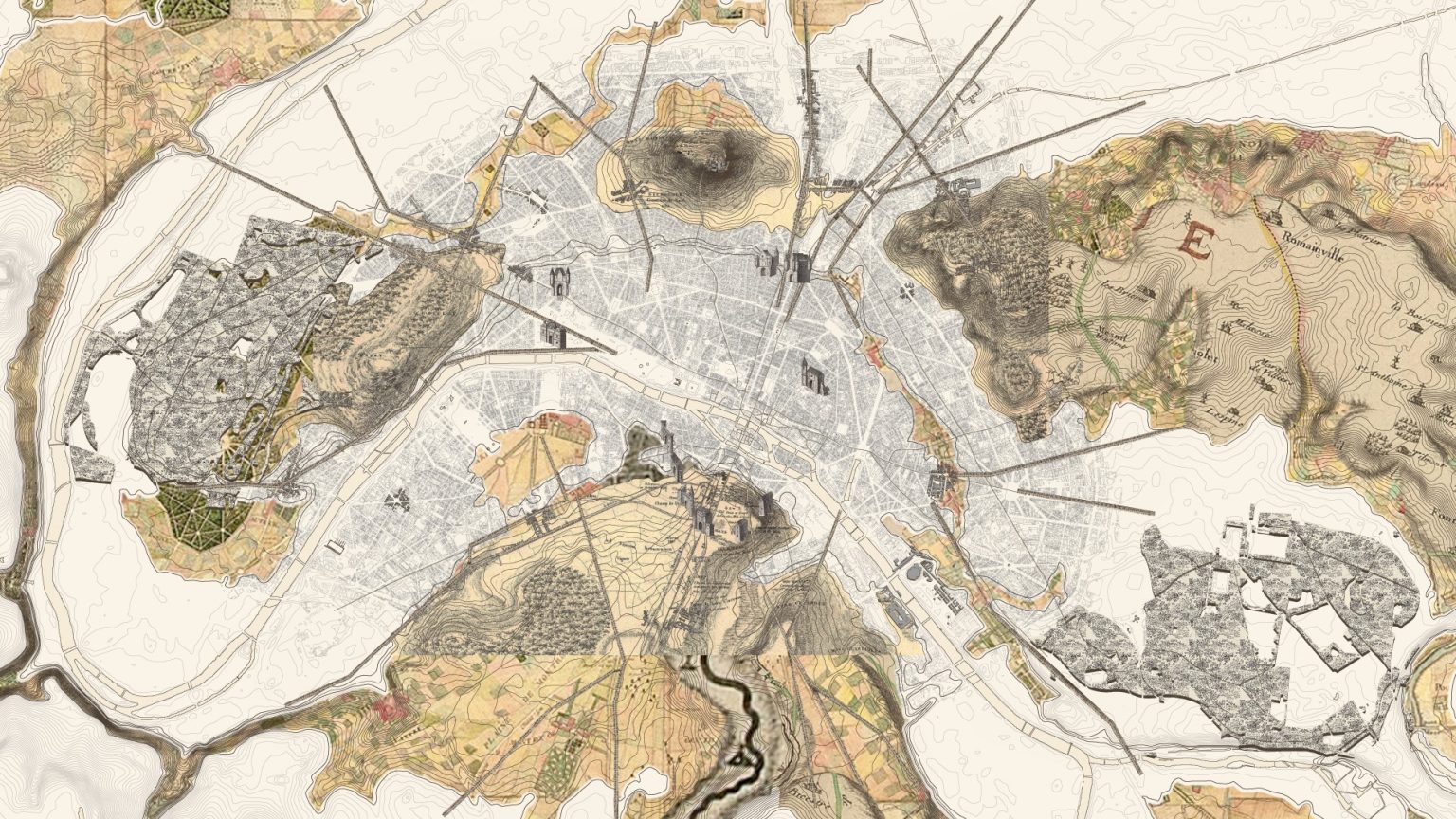
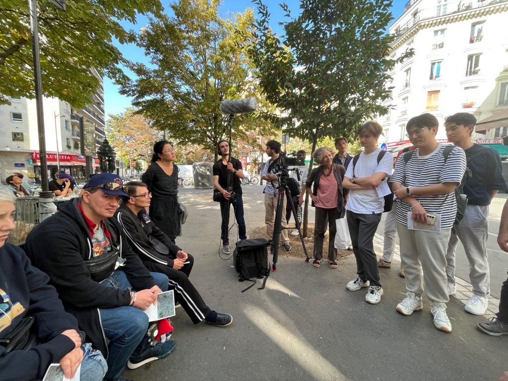
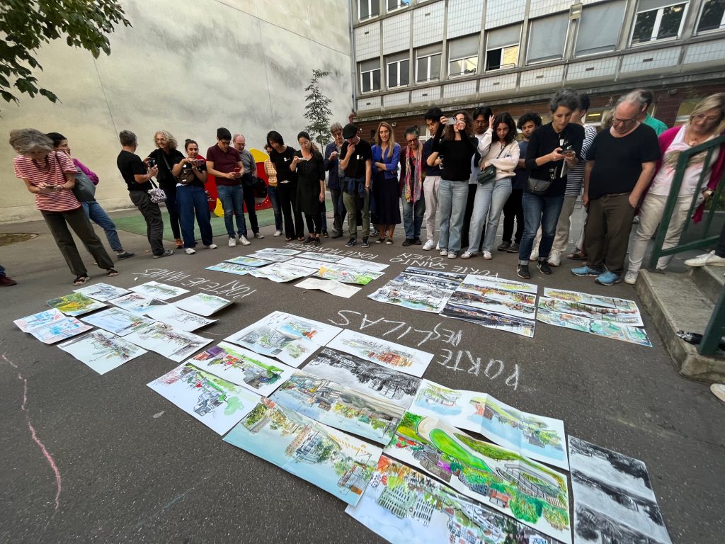
As such, the Atlas is the product of an experience: the result of a year of studies, meetings with inhabitants and passers-by, workshops with inhabitants, expert historians, sociologists, architects, landscape architects, ethnologists, readings, discussions, presentations, walks, interviews, places, monuments, geographies, atmospheres. In this way, the Atlas restitutes the collective experience of Paris’ landscapes.
Developing a digital, audio-visual, and cartographic tool to promote the appropriation of the city by all the people
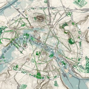
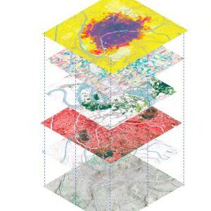
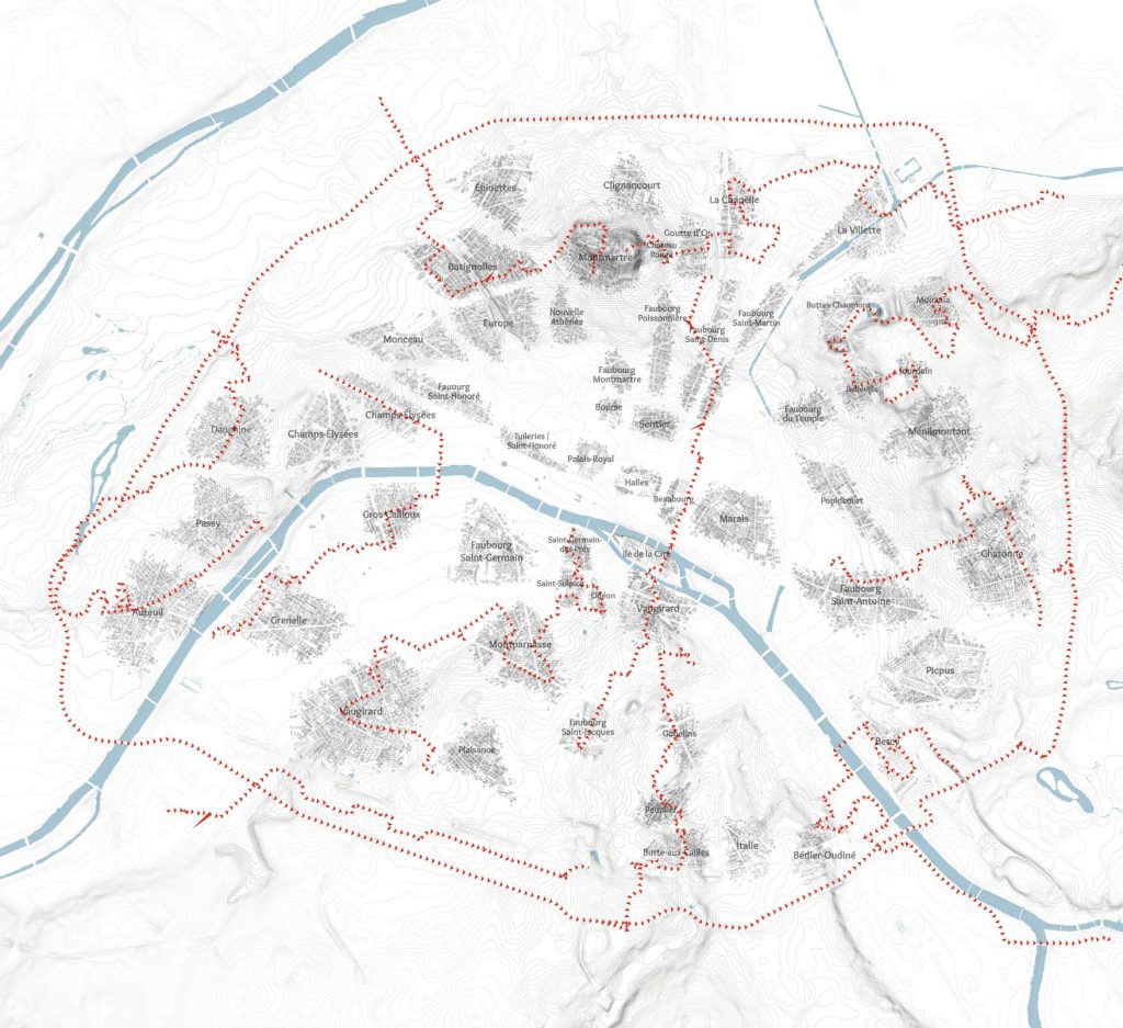
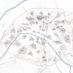
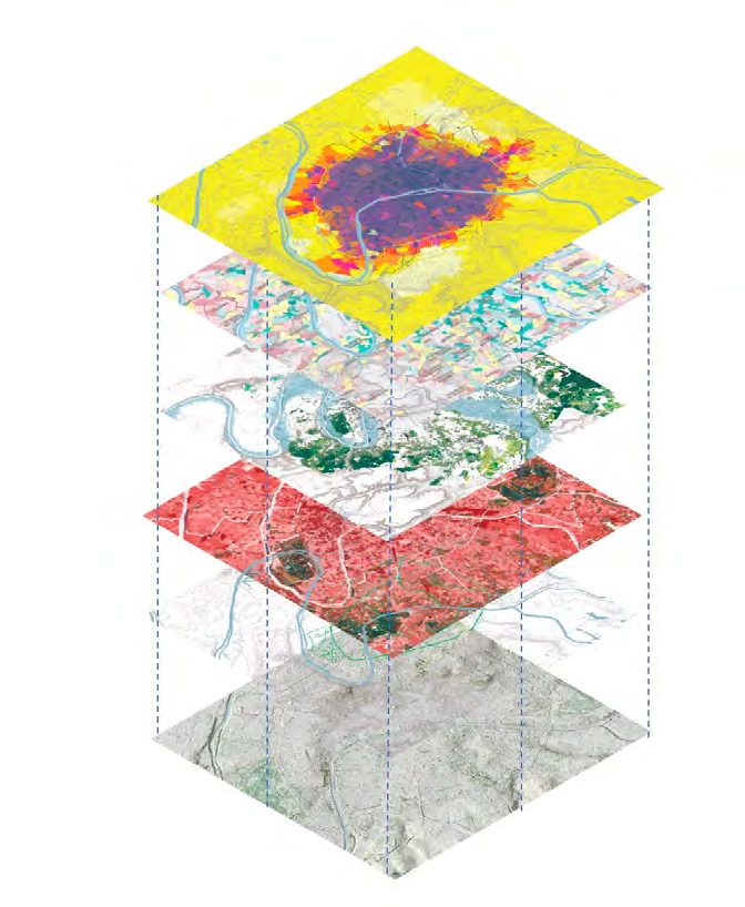
The maps transcribe the intensity of the exchanges regarding the landscapes of Paris and allow the establishment of relationships between the different documents and viewpoints; to initiate dialogues between the different experiences of places, which can belong to different temporalities, to past or contemporary times. As a « narrative space » Jean-Marc Besse defines it as « L’atlas : forme de connaissance et récit d’espace » (Atlas de Paysage de Paris, HRC\EPFL – 2023).
Thus, the Atlas highlights a unique kaleidoscope influenced by diverse horizons and cultures. The landscapes of Paris are, therefore, considered as the sum of the landscapes perceived by each of us, which together shape a certain kind of perception of the city in constant evolution.
To freeze the landscape at any given moment—though it is essentially fluid and in accelerated transformation—means determining that the Atlas plays a standard role as a temporal reference point to represent this collective perception and to project a vision so that Paris could reinvent itself in light of the global challenges.
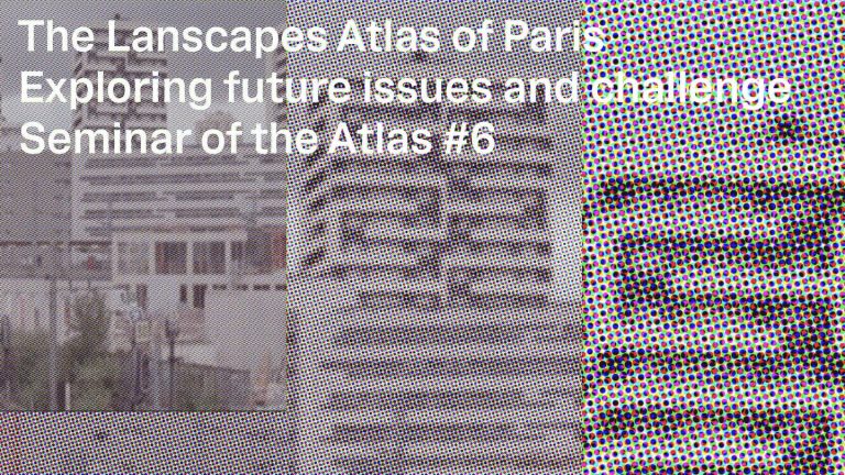
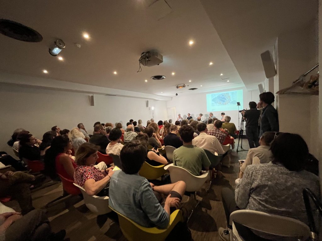
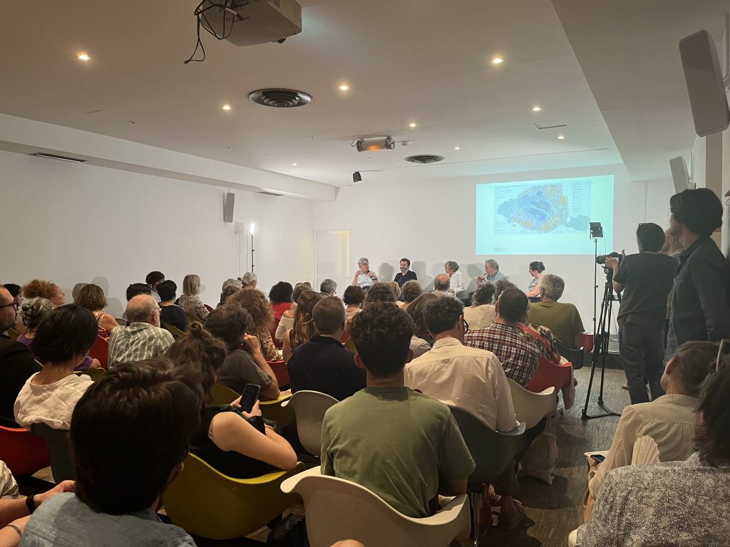
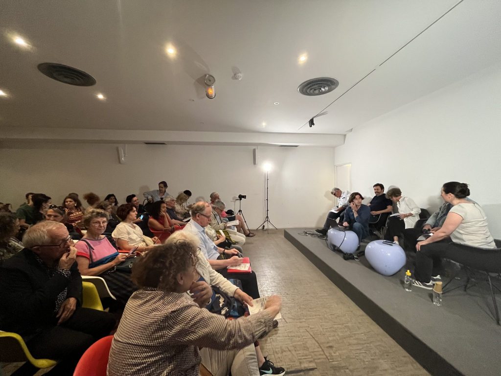
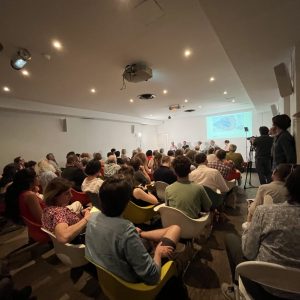
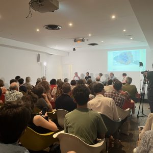
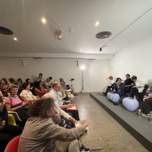
Seminars of the Atlas
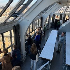
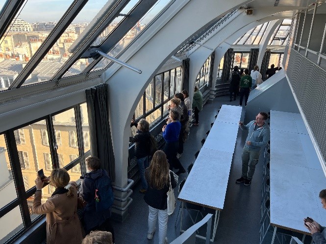
This is an event open to the public with a series of Seminars and Conversations of the Cycle of discussions on the Landscape Atlas. This series of discussions will allow exchanges with researchers in various interdisciplinary fields, such as architects, urban planners, sociologists, ecologists, hydrologists, and geographers, in order to shed light on their perceptions of the transformation and transition of the landscapes of Paris.
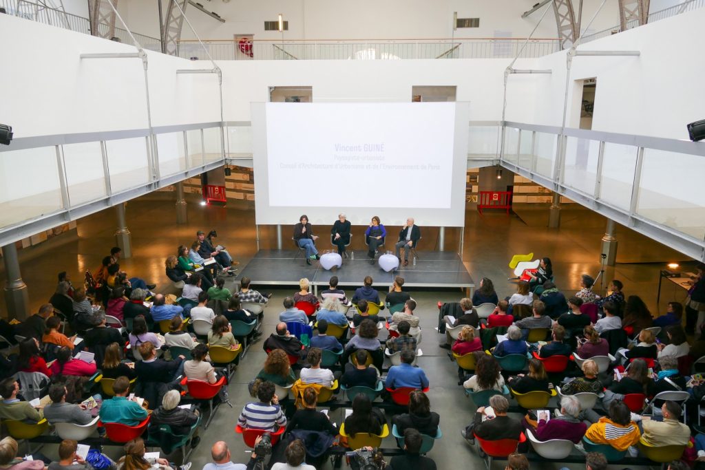
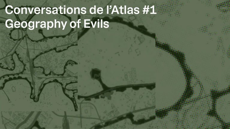
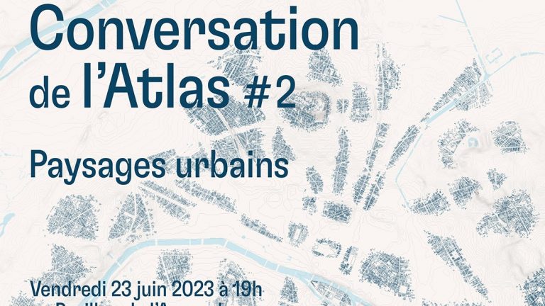
Conversations of the Atlas
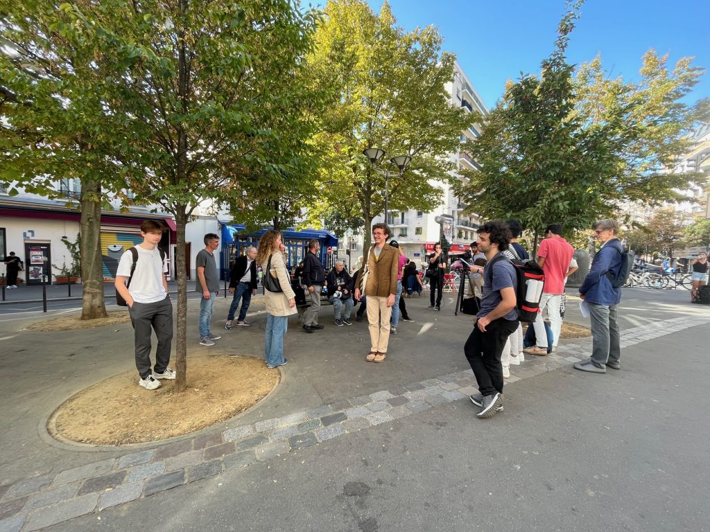
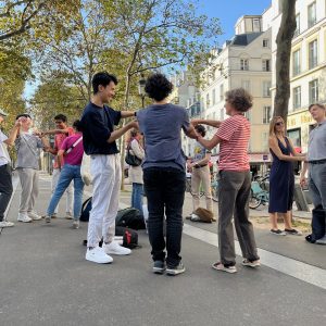
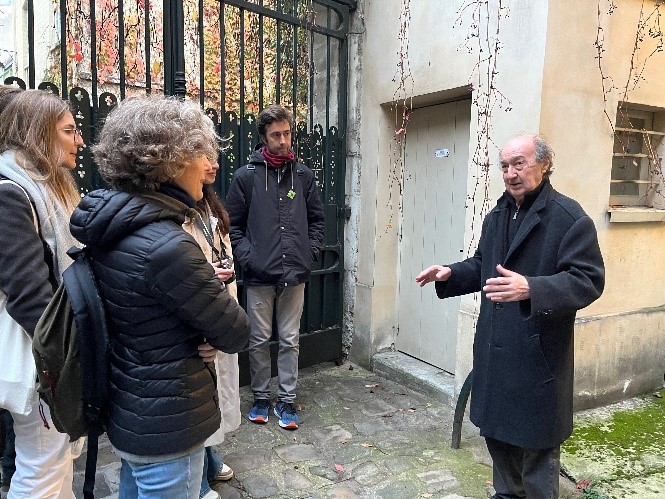
Promenades of the Atlas
An initiative of the City of Paris and the French government, the Atlas de Paysages de Paris is the first atlas to cover an entirely built-up area. It is a tool that aims to identify, characterize, and qualify Parisian landscapes, based on scientific analysis and public perceptions. Its aim is to take greater account of the non-built landscape in urban projects, its ongoing evolution, and the expression of global greening issues on a city-wide scale.
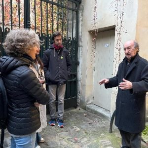
The second phase of this Landscape Atlas is just beginning, and the social and environmental issues it raises mean that we now need to test our initial hypotheses directly in the field in collaboration with the CAEU de Paris. These walks are in addition to the participatory approaches to the perceptions of local residents, this exploration of the territory has enabled us to take another look at our subject of study.
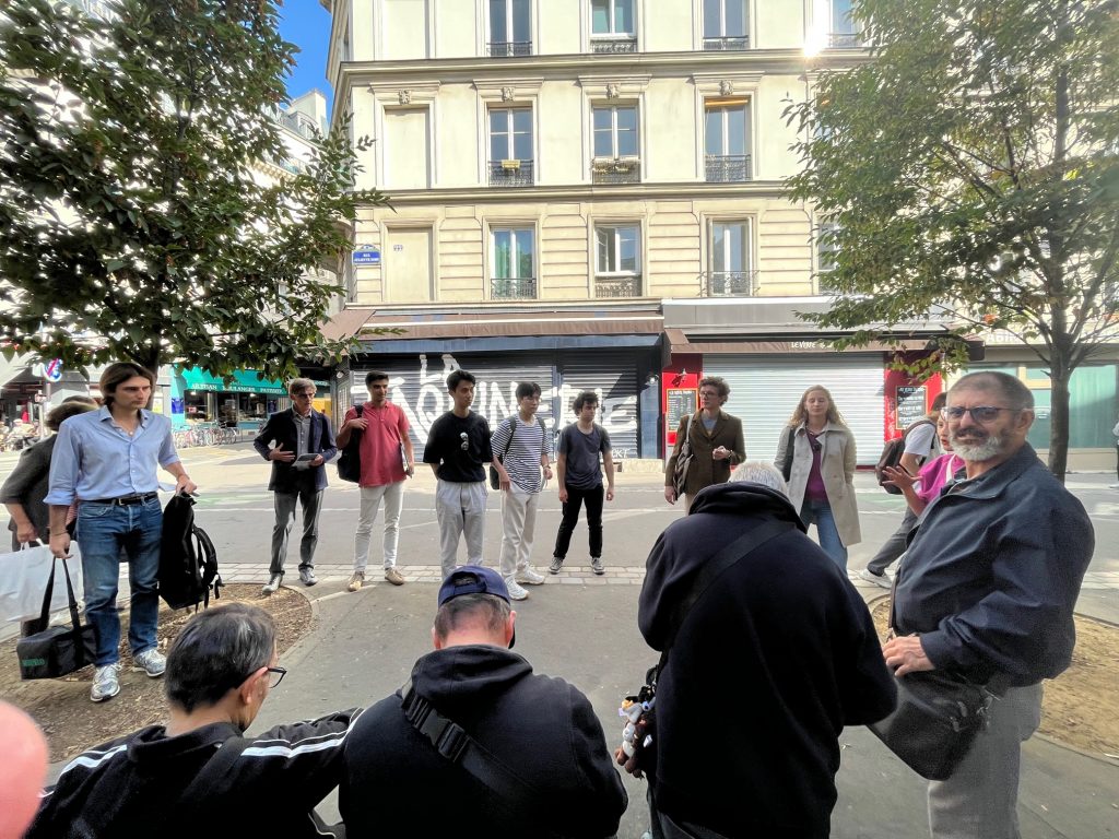
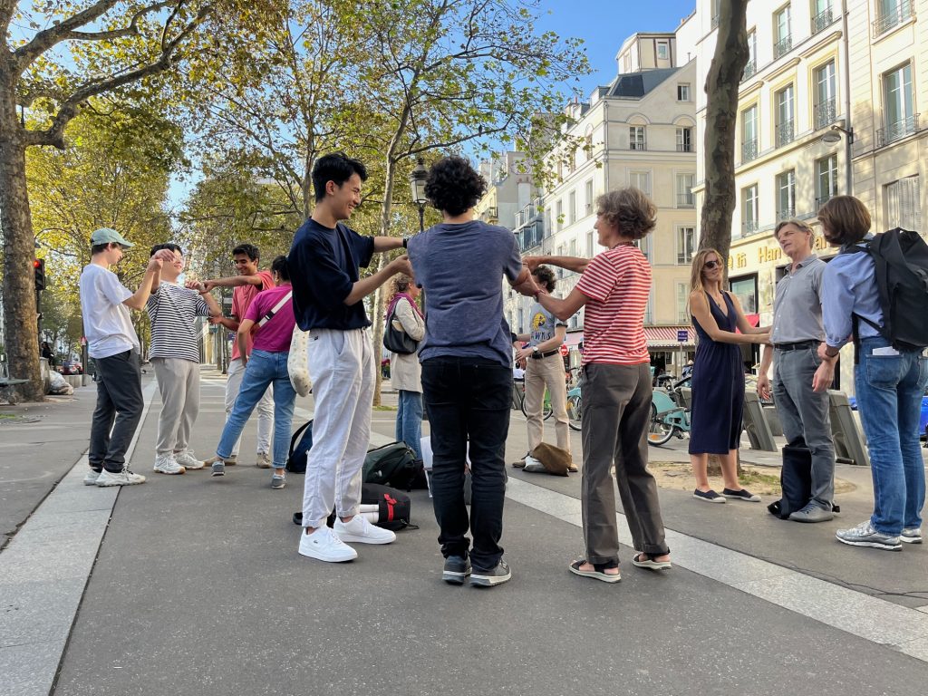
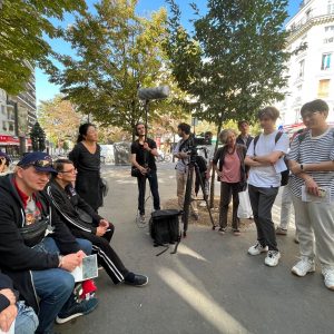
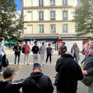
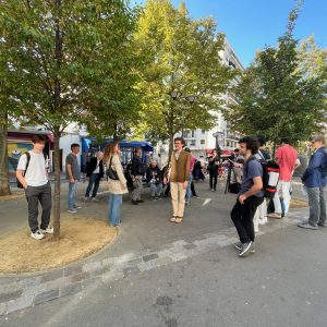
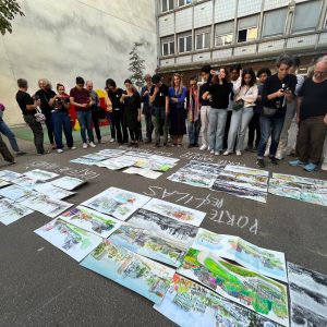
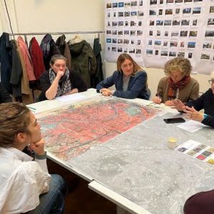
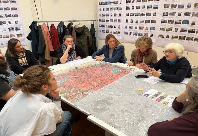
Participative Workshop of Atlas
The first line of work, which has already begun and will continue throughout the Atlas production process, consists of monitoring the theoretical and methodological advances made by the team in the field in Paris, with the various players involved in elaborating the Atlas, with local residents and possibly in Lausanne during concrete work phases (map production, working meetings, etc.). The aim of this meeting , will be to be able to give an account of the habitants and Parisian export and to introduce them to the methodological bias of the Atlas, in particular the use of certain terms (units, entities, structures, elements, villages, etc.), certain choices of cartographic representations and, more generally, the process of the research being carried out.
Research funded by :
Ville de Paris (Avila Tourny Adjointe au chef de la Division Réglementation et Stratégie Urbaine
Etat français DRIEAT-SNP-DSP (Florence Mottes Adjointe à la chef du département sites et paysage)
HRC – Project team:
Paola Viganò (scientific director, Lab-U/HRC)
Ben Gitaï (coordinateur équipe, HRC-EPFL)
Noélie Lecoanet (LAB-U -EPFL)
Joanne Nussbaum (HRC-EPFL)
Clarisse Protat (HRC-EPFL)
Experts EPFL :
Valentin Bourdon (HRC-EPFL)
Charlotte Grossiord (PERL/HRC-EPFL)
Gabriele Manoli (URBES/HRC-EPFL)
Luca Pattaroni (LASUR/HRC-EPFL)
Paolo Perona (PL-LCH/HRC-EPFL)
Experts externes :
Jean-Marc Besse (Directeur de recherche CNRS et directeur d’études EHESS)
Dominique Marchais (réalisateur de film et enseignant ENS Géosciences)
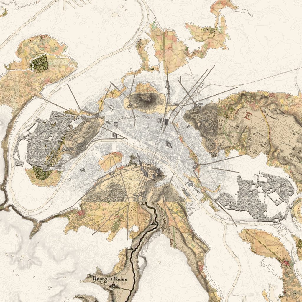
“Atlas de paysages de Paris” © HRC- EPFL, 2023
“Atlas de paysages de Paris” © HRC- EPFL, 2023
“Atlas de paysages de Paris” © HRC- EPFL, 2023