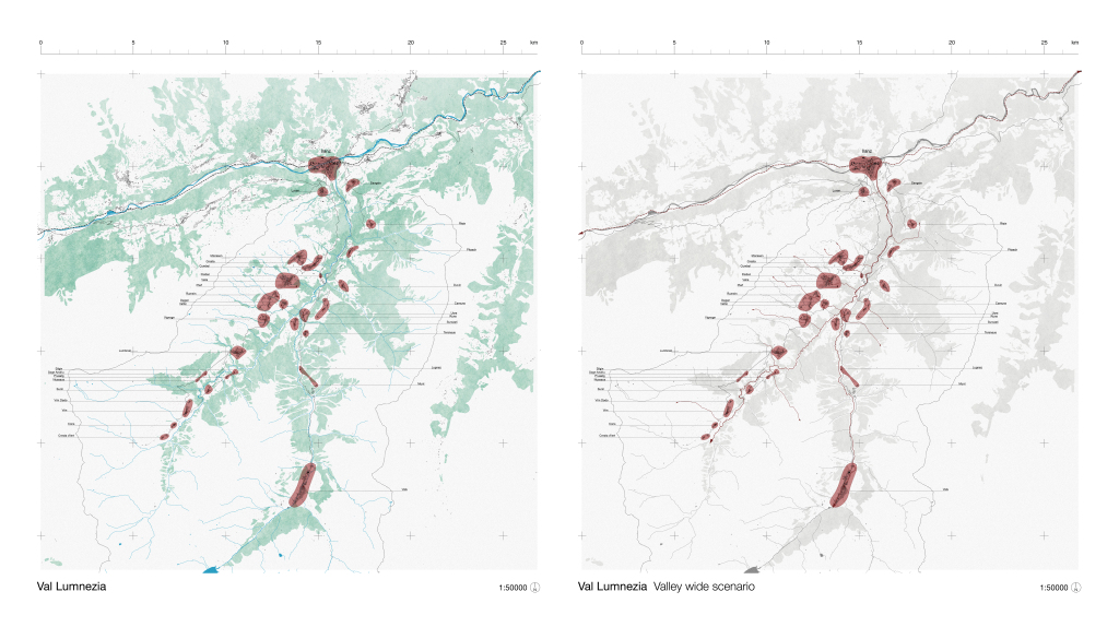
By using the available maps and data to gain an understanding of Val Lumnezia, “Mapping Airlumnezia” considered some of the following: demographics, economic development, logistics and transportation, geography, geology, infrastructure, natural systems and environment, tourism. This exercise developed methods for site analysis based on computational tools and traditional mapping.
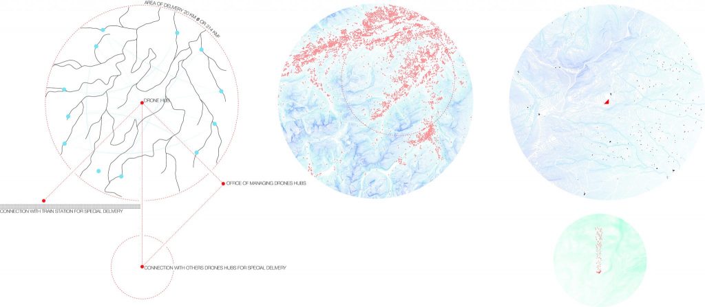
Unlocalized town market – Map by Enzo Arioli: This project is created by two sides, two areas, one for humans on the downside and one for drones on the upside.Map by Roman Claus: Located in between the village of Camuns and one of its nearby hamlets, this multi-level modular building interfaces human-drone interactions in the context of a store and delivery center in a remote area.Farming Airlumnezia – Map by Bourakka : The project is an all-encompassing facility that englobes the chain of production of dairy and meat products from breeding to sending.Map by Simone Izzo: The possibility of creating a network of connections built on the dense network of dams in Switzerland is concrete. Moreover, the reuse of those gigantic infrastructures with a considerable environmental impact could be seen as sustainable also because it would give the possibility to use part of the energy produced by the hydroelectric plant for the recharging of the drones and the functioning of the infrastructures, making it a building with zero consumption.
Bachelor’s semester project student: Enzo Arioli, Roman Claus, Bourakka, Simone Izzo Studio Instructors: Christina Doumpioti, Christoph Holz, Frederick Kim, Mikhael Johanes Professor: Jeffrey Huang