DHMaps is a hands-on workshop on the automated vectorization and digitization of historical maps. The workshop is aimed at researchers in academia, doctoral students, research institutes, and heritage institutions.
The event will take place at EPFL on 25-26 April 2024.
The two-days workshop will include presentations of projects and recent methods, a hands-on session on the annotation of historical maps, and analysis of the processed results.
The topics that animate the event are:
- Understanding and applying annotation methods and strategies to produce useful labels for the extraction of map figuration.
- Discuss possible horizons for historical cartographic research using digital approaches.
- Federate a community of academic partners, patrimonial institutions, and young scholars who wish to explore and analyze cartography through digital methods.
Participation is free of charge. Registrations are open until April 1st.
Program
Thursday 25th April
- 13:00 : Introduction & welcome
- Projects perspectives. Short scientific presentations demonstrating the approaches and data from various teams.
- 13:20 – 13:35 : “Colouring Cities” (Polly Hudson, Turing Institute)
- 13:40 – 13:55 : “Approches and challenges to map analysis” (Hendrik Herold, Robert Hecht, Martin Behnisch, IOER)
- 14:00 – 14:15 : “Machine Reading Maps & MapReader” (Katie McDonough, Lancaster & Turing Institute)
- 14:20 – 14:35 : “Parcels of Venice & Cartonomics” (Isabella di Lenardo, EPFL)
- Collection & Digital Libraries.
- 14:45 – 15:00 : BnF Gallica & cartographic projects (Jean-Philippe Moreux, BnF)
- Collaborative annotation hands-on
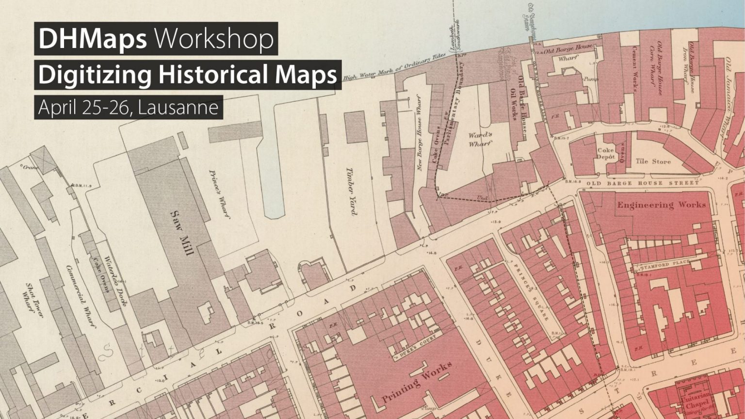
- 15:15 – 15:45 : Presentation of the case study on the 1890s Ordnance Survey map of London and collaborative tool for annotation.
Coffee break
-
- 16:15 – 16:45 : Short annotation session.
- 16:45 – 17:00 : Feedback & Discussion on Annotation.
- 17:00 – 17:20 : “Effective Annotation” (Paul Guhennec, EPFL)
- 17:30 – 18:00 : Short annotation session
Friday 26th April
- 9:00 – 9:15 : Welcome & coffee with croissants
- 9:15 – 9:40 : “Time Machine Initiative” (Isabella di Lenardo, EPFL)
Coffee break
- 10:00 – 11:00 : Keynote by Prof. Lorenz Hurni (ETH Zurich) “Cartography: Facts, Fiction, Fake”
- Exploring ongoing research. Short scientific presentations discussing the latest developments in map recognition, scientific prospects, and epistemological shifts, followed by discussion.
- 11:05 – 11:20 : “Cartographic Inventions: Learning from Jerusalem’s 19th Century Mapping Errors” (Beatrice Vaienti, EPFL)
- 11:25 – 11:40 : “Topologically Consistent Vectorization of Historical Maps” (Xue Xia, ETH)
- 11:45 – 12:00 : “Extracting road features from historical maps by incorporating cartographic method knowledge into deep learning” (Chenjing Jiao, ETH)
- 12:05 – 12:20 : “MAPHIS: Mapping History” (Yanos Zylberberg, Bristol)
Lunch
-
- 13:15 – 13:30 : Presentation by Yizi Chen, ETH
- 13:35 – 13:50 : “3D reconstruction of Historical Buildings using archival & contemporary datasets” (Vaibhav Rajan, Jena)
- 13:55 – 14:10 : “Detection and 3D Reconstruction of Pictorial Objects on Historical Maps” (Raimund Schnürer, EPFL and ETH)
- 14:15 – 14:20 : “Motivating citizens in citizen science projects – Experiences and perspectives using the example of Coloring Dresden” (Tabea Danke, IOER)
- Results on the OS map of London.
- 14:35 – 14:55 : Presentation of the method & results of the vectorisation (Rémi Petitpierre, EPFL)
- 14:55 – 15:15 : Discussion & conclusion
Coffee break
Where?
The workshop will be held in the Odyssea building (Room –1 0020 see on plan) on the EPFL campus, in Lausanne.
The campus is accessible by metro line 1, 15 minutes from Lausanne city center, or 5 minutes from the Renens train station. The station closest to the workshop location is EPFL or Unil-Sorge.
The bus line 1 also connects EPFL to Lausanne main station and southern neighborhoods during peak hours. The stop is Ecublens VD, Champagne.