After 1536 and the conquest of Vaud by Bern, the Bernese authorities wanted to know the size and income of the newly acquired land: for this, documents called “terriers” were established. At a twenty- or thirty-year interval, landowners must declare their possessions, a process called recognition (“reconnaissance”). The difficulty with this type of document is the absence, most of the time, of corresponding maps or demarcations. Therefore, maps were gradually established beginning as early as the second half of the 18th century. These maps, unlike “terriers”, concern not only a particular fiefdom, but a territory regardless of fiefdom, meaning the map is based on a location, not a specific fiefdom that can be divided into different locations. The first copies were established between 1650 and 1660 but were carried out systematically only during the great renewal of the fiefdoms of 1673 and 1674. This undertaking was followed in 1691 by the consolidation of the recognitions processed in front of a commissaire in the same document called “grosse” (i.e. a volume grouping the list of lands with their tenants and owners), which is accompanied by a map (“plan terrier”). These first maps are made without concrete measurements of the land. Before the end of the 17th and the beginning of the 18th century, there were no real maps, other than for certain properties, and “grosses” were the main instruments of ownership control.
Some maps (“plans terriers”) existed before, as listed by Eugène Mottaz. The oldest one concern the village of Denges (1658), followed by Yvorne (1660), Chessel and Aigle (1661). However, it is not a cadaster because the value of land and buildings is not mentioned there. The aim is not to perceive the “taille”, which almost no longer exists, but to know which fiefdom the land belongs to, to collect other taxes and to control real property assets and transfers.
The next step was to implement a cadaster which, despite a law in December 1800, did not happen during the Swiss Republic. The decree of 10th February 1801 establishes a protocadaster containing for each owner all the buildings belonging to him. However, there is no law to set up new maps.
On 18th May 1804, a law ordered the making of geometric maps for the entire canton of Vaud. But this law was never enforced. A decree asking for the making of maps was promulgated on 6th February 1812. Following this, a list of primary municipalities was established. Between 1813 and 1835, the officers produced the maps of the communes.
Cadastral maps are often underestimated as a source, as they are difficult to compile given the large number of plates made for a parish or commune. However, like many historical sources, by cross-referencing them with other documents, they can be exploited. For example, they are useful for studying the landscape, agricultural organization, the evolution of the buildings, etc.
It was not until the 19th century that the land register (“registre foncier”) compiled the land by owner, allowing the land fortune to be estimated. Although a law of 19th October 1798 called for the creation of a land register and its owners, which was a first effort under the Swiss Republic between 1801 and 1802. This protocadaster was not really established in all municipalities until 1807. Finally, the cantonal land register was revised between 1836 and 1840, as it had become of poor quality with outdated information thirty years after its completion. Thus, in 1840 the land registers were completely revised.
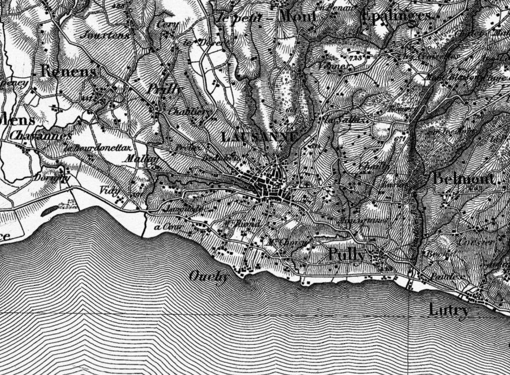
The Vaud cadastral maps have been rarely studied, except in a few papers or contributions, sometimes in a very simple way, to describe for example the contours of a city, the owners of the land and the evolution of the building as in the case of La Tour-de-Peilz, or more in-depth in order to determine the evolution of taxation, like for Belmont-sur-Lausanne in the 17th and 18th centuries. The maps can also be used to analyze land plots and their crops, in order to provide additional information about the agricultural organization of a commune.
Bibliography
- Bloch Marc, « Les plans parcellaires », Annales d’histoire économique et sociale 1 (1), 1929, pp. 60‑70.
- Dovring Folke, « Études sur le cadastre médiéval en Suisse romande », Zeitschrift für schweizerische Geschichte 30 (2), 1950, pp. 198‑243.
- Hegg Louis, Le cadastre vaudois, Lausanne, Éditions ERL, 1949.
- Mayor Henri, « Étude sur les plans cadastraux de la commune de la Tour-de-Peilz », Revue historique vaudoise 50 (6), 1942, pp. 237‑244.
- Monition Thierry, Le cadastre vaudois au XIXe siècle, Lausanne, Bibliothèque historique vaudoise, 1989.
- Mottaz Eugène, « Cadastre », in: Dictionnaire historique, géographique et statistique du Canton de Vaud, vol. 1 / 2, Lausanne, F. Rouge, 1921, pp. 310‑311.
- Mottaz Eugène, « Plans cadastraux », in: Dictionnaire historique, géographique et statistique du Canton de Vaud, vol. 2 / 2, Lausanne, F. Rouge, 1921, pp. 460‑463.
- Pictet Robert, « L’ancienne structure agraire de Faoug au XVIIe siècle », Revue historique vaudoise (94), 1986, pp. 51‑62.
- Pictet Robert, « Cadastration et fiscalité aux XVIIe et XVIIIe siècles : l’exemple de Belmont-sur-Lausanne », Revue historique vaudoise, 1981, pp. 9‑47.
- Radeff Anne, « Les premiers plans terriers de Suisse occidentale (XVIIe siècle) », in: De l’estime au cadastre en Europe. L’époque moderne, vol. 2, Paris, Comité pour l’histoire économique et financière de la France, 2007, pp. 43‑55.