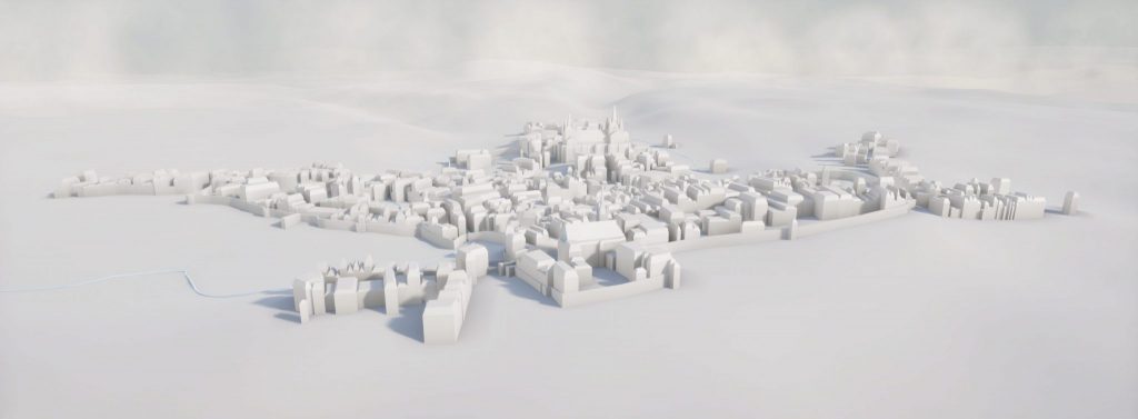
Thanks to a specific vectorization pipeline for historical cadastral plans, we can accurately reconstruct building footprints from a variety of old maps. Once these vector layers are georeferenced to today’s base plan, we infer each building’s height and form, generating complete 3D models.
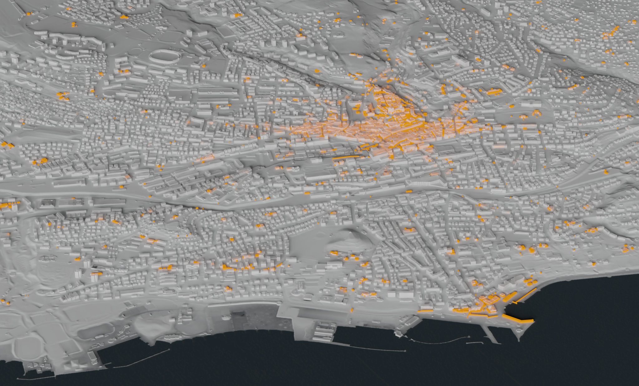
We then integrate these reconstructions directly into our present-day LiDAR model, creating a seamless 4D representation of Lausanne. We’ve vectorized and extruded the Melotte pre-cadastre (1721–27) and the Abraham Berney geometric cadastre (completed 1831), bringing over three centuries of urban evolution into one unified dataset.
Simulating the 3D of the Melotte pre-cadastre we modelled at a more precise scale of detail for major monuments such as churches.