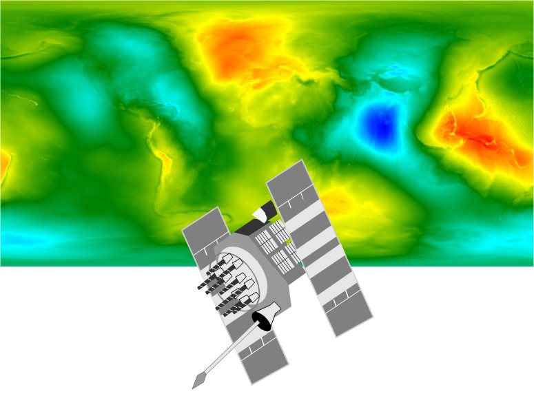
Geomatics represents a branch of engineering that is increasingly present in our daily activities. According to the Oxford Dictionary, Geomatics Engineering is defined as: “ The mathematics of the earth; the science of the collection, analysis, and interpretation of data, especially instrumental data, relating to the earth’s surface.” A more precise definition would be the following: Geomatics Engineering integrates the acquisition, modelling, analysis, and management of geographically (spatially) referenced data, i.e. data identified with respect to a geographic location.
Thus, Geomatics Engineering is an interdisciplinary science that offers young people an engineering degree with diverse options for a promising career.
Did you know that Geomatics Engineering plays a key role in:
- Studying the mathematical and physical characteristics of our planet,
- Production of dynamic and static maps and atlas,
- Natural risk management and evaluation of environmental changes,
- Management of fleets: aeroplanes, ships, cars, etc. ?
For these and other tasks, Geomatics Engineers implement sophisticated methods using high-tech tools that have a well-established tradition.
At the EPFL, two laboratories focus on teaching and research in Geomatics:
- Laboratory of Geodetic Engineering ( TOPO ), directed by Prof Bertrand Merminod,
- Laboratory of Geographical Information Systems ( LaSIG ), directed by Prof François Golay.
We invite you to discover your potential future with us, within the field of Geomatics Engineering at the EPFL. We can offer a solid foundation for any career path, either as a professional Geomatics Engineer in the private sector or in the research community.